Water Sources at Pınarbaşı Believed to be the Source of the Karamenderes River (1784, Aguste de Choiseul-Gouffier) His real name is Felix Marie Charles Texier (1802-1871), a French architect, archaeologist, and traveler. Texier, who graduated from the École des Beaux-Arts in Paris, was a member of the French Academy of Sciences and the Paris Archaeological Institute. Due to his position as Inspector of Public Works, he visited Anatolia on behalf of the French Government in 1833 and 1843, traveled through a large part of the Ottoman geography, conducted excavations, carried out research, and published the results of all these works. The most important part of his work was introducing Hattusa (Boğazköy), the capital of the Hittites, to the world at that time by mapping its topography and illustrating many of its places. In the places he visited, he not only made drawings of important cities, structures, and monuments from ancient times but also from later periods (Seljuk, Beyliks, Ottoman, etc.), documenting them with drawings made by experts. He did not stop there; he also provided information about the geological structure, geographical features, underground and surface resources of Anatolia, and the historical and contemporary ethnic, demographic, cultural, economic, etc., conditions of the people, sharing his observations. He published the results of his first trip to Turkey (1833-1837) in French, and his observations and research from his second trip to Turkey in 1843 were published twice more, first in 1862 and then in 1882. The work in question received great international interest as soon as it was published. Texier's book also attracted the attention of Turkish intellectuals of the time and was translated into Turkish by Ali Suat Bey (1869-1932) during the National Struggle. Texier's work is not only a travelogue but also served as an encyclopedic reference source compiling the knowledge of Anatolia at that time; however, it is observed that a European perspective on sensitive issues such as race, history, and origin in the 19th century is also reflected in the work. The section on Çanakkale is characterized by both travel and period research conducted on ancient sources. Texier believed that Troy was located on the hill above the village of Pınarbaşı at that time:
"The shores of Çanakkale (Dardanelles) do not present any remarkable features in terms of scenery. The swift flow of the Bosphorus loses its intensity in the Sea of Marmara, and the waters of the Black Sea rest calmly against the Çanakkale Strait (Hellespont). The Anatolian coast of Çanakkale is low and slightly rugged. The area of the Asian fortresses and the cape of Sigeia (Sigee), indicating the entrance of the strait, are low and motionless places. The appearance of the lands of Troy is similar. The Kaz (Ida) Mountain range rises away from the coast, leaving the vast area known as the plain of Troy (Troie) between itself and the sea. In this area, one can find heaps of all kinds of sea shells and animal shells, including those of the type living today. The waters descending from Kaz Mountain must have formed this plain, which must have been very famous long before humans inhabited it. Lapseki and Surroundings (1784, Aguste de Choiseul-Gouffier)
The island of Tenedos, opposite Troy, historically known as the gulf of Beşike (Bezica), helps ships safely find the shore by cutting the intensity of the winds coming from the open sea. The old Alexandria Troas, with its beach indentation, was the only known docking point in ancient times, and beyond it, there was never a place for ships to take refuge. The land here forms a mountainous mass called Baba cape. This is the old Behramkale (Assos) promontory that forms the Edremit bay; here, the coast suddenly bends eastward and shows no indentation. However, as one approaches the end of the gulf, the land lowers, allowing several streams to flow. This mountain range is generally volcanic; the ashes of the volcanoes have descended to form these shores...
Plain of Troy from Pınarbaşı Araplar Strait (1801, William Gell) Near the mouth of the Koçaçay (Aesepos) river, there is a mountain with the tomb of Memnon on its summit and the town of Memnon nearby. The events attributed to this hero caused disagreement even during the Roman period. Some brought him from Egypt, others from Iran. Pausanias, with an attitude suggesting he wanted to reconcile these two views, says that Memnon belonged to the Habean or Sudanese, that is, Ethiopian race, but came to the aid of the Trojans by taking control of the nations and tribes on his way from the city of Susa (Suse). Herodotus, when speaking of the Nimfi (Nyphi) monument, is also seen as related to these events. There are those who think these monuments are images of Memnon; however, they are remarkably mistaken.
Aurore, nicknamed "son of dawn," is none other than an Assyrian prince who came to the aid of the Trojans and only arrived there towards the end of the siege. According to the widespread story, Memnon's birds, which come every year to dip their wings in the Koçaçay (Asespus) and wash and clean Memnon's tomb, continue to fly along the entire Hellespont coast. At a certain time of the year, flocks of birds resembling the Alkiyon (Alcyon) mythical bird swiftly cross this Çanakkale Strait (Hellespont) and the Bosphorus (Bosphore) like an arrow. They are never seen landing on either land or water. The guardians and villagers of this coast call these birds "suffering souls."
The city of Priapus was about fifteen miles from the Kyzikos (Cyzique) peninsula and west of the mouth of the Granique river. This city was founded by the Milesians or, according to other evidence, by the Kyzikoslular. This Priapus became famous as a maritime stop. After the Battle of Granique, it fell into the hands of Alexander. A village called Kara Boğa (Kara Biga) now occupies its place; however, no traces of ancient artifacts are found. The Kara Boğa cape protects the harbor from northern winds, and the peninsula also guards the harbor from the east.
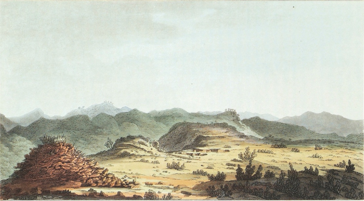
Tumuli in Ballıdağ, Pınarbaşı (1801, William Gell) The site of the ruins of Parium is known as Kamares: Its walls were built with large marble stones without mortar. According to the testimony of many building traces, such as the remains of aqueducts buried underground like cisterns, this city showed significant presence until the fall of the empire.
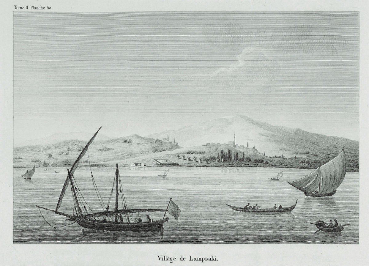
The city of Lapseki dominated the entrance to the Çanakkale strait. It was equipped with a good harbor and was famous for the fertility of its land. The founding of Lapseki dates back to the very ancient history of the mythological periods before the European migrations...
The most beautiful city of this region, Abydos, no longer exists. However, according to the topographical studies conducted by various authors, it is correct to place this city next to Boğazhisar, located on the cape in the strait...
With the birth of literature, European scholars sought to find the highly successful theater of the Iliad (Iliade) on the Asian shores. Only one sign remained to guide them in these researches. Tenedos (Bozcaada) retained its name, and the magnificent ruins of Alexandria Troas, better preserved in the 16th century than today, first caught the attention of sailors. Genoese and Venetian captains named the building dominating the vast area of the ruins the Palace of Priam...
In the Aegean, that is, the sea of islands, at the southern end of the mouth of the Çanakkale Strait (Hellespont), rises a cape occupied by the city of Sigee in ancient times. This city was an Aeolian city founded by Archaanax of Mitylene after the fall of Troy. The new settlers took the stones of old Troy to build their city...
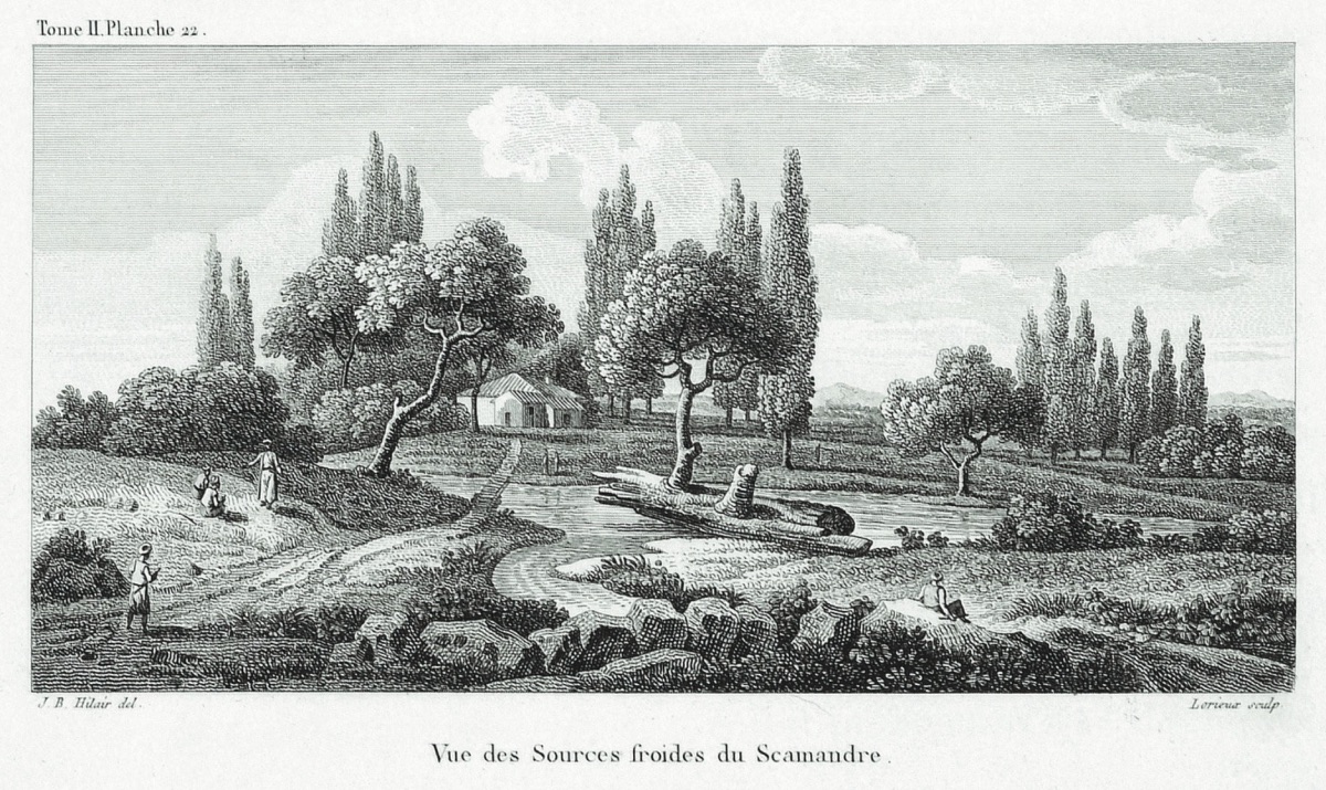
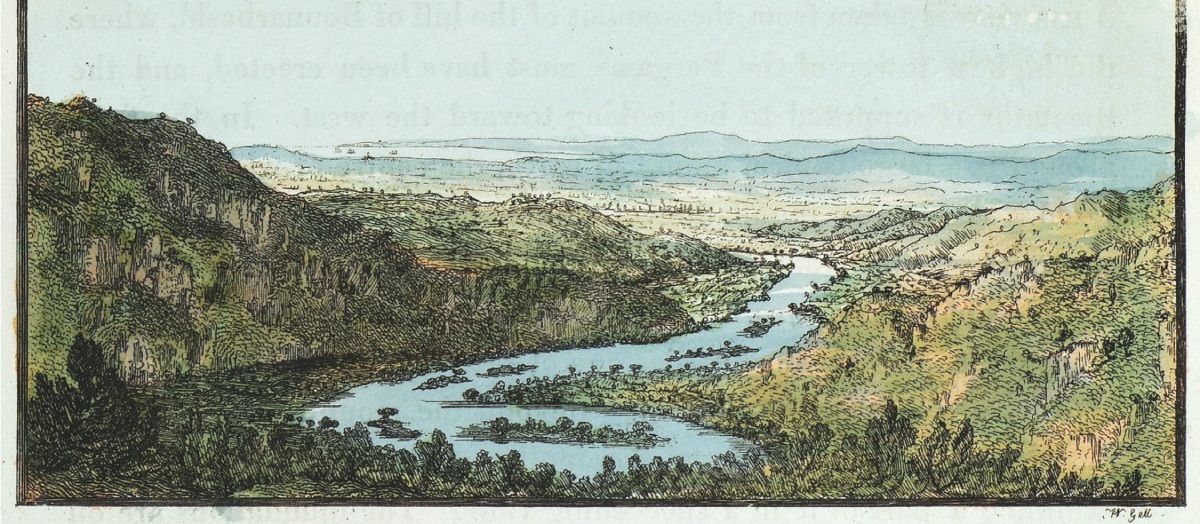
Before entering the plain of Troy, the Simois river, making numerous bends in its bed, is squeezed between two steep hills. On the western slope of one of these is the village of Pınarbaşı. This gorge leads to another plain occupied by many villages that cover the entire area of ancient sites according to the geography of Troy. Beyond this plain are the black pine forests, the lower parts of the Kaz (Ida) and Cotylus Mountains shading the sources of the Simois. Ascending towards the bed of the real Karamenderes (Scamendros), one reaches the sources of the river at the foot of Pınarbaşı Hill, under willows, fig, and tamarisk trees. The waters emerge from limestone masses and form a pool surrounded by granite and marble. It is warm in winter and emits dense smoke. There is no difference that would require doubt between these sources and Homer's descriptions. These sources completely determine the location of Ilion, and the investigations conducted about Pınarbaşı Hill support the poet's accurate description.
...
To conduct a thorough exploration of the plain of Troy, it is more convenient to complete preparations in the city of Çanakkale, where the consuls are located. There, it is easy to find guides and horses.
This city, considered the old Dardania, has completely lost its old name among the local people. Due to a rather famous pottery factory whose products are exported to almost all the islands, the Turks call this city Çanakkale. These products are distinguished by their shape and glaze. They have samples and shapes not devoid of elegance. The first stop, the village of Halil Elli, is about thirty kilometers from Çanakkale. This village is a plain full of ancient ruins; however, no buildings remain standing. The distance between Halil Elli village and Enez (Enai) is forty-three kilometers. Passing through Gavur village, one arrives at Çıplak.
This large village of Çıplak, located about three kilometers from approximately ten villages, is on the right bank of the Karamenderes (Scamandros). This village is accepted as the location of Ilium Recens (New Ilium).
In the middle of a wooded area, many traces of monuments, columns, and temple ruins can be seen."